
Mayor Bruce Harrell released his recommended version of the Seattle Transportation Plan (“STP”) last week, and it is a massive document that attempts to combine nearly all of the city’s various transportation plans into one. This megaplan will be used to guide the development of the next transportation levy as well as guiding decisions about which projects SDOT will build and in what order. It also guides decisions about which modes should be prioritized in each project. It will be one of the most influential policy documents Seattle publishes this decade.
The Mayor’s Office and SDOT have developed the STP to this point over a period of two years to this point, and now it goes to the City Council for any final amendments and adoption. SDOT presented the plan to the Transportation Committee Tuesday (starts at 30:00).
As with the Pedestrian, Freight and Transit Master Plans, the Seattle Transportation Plan “builds on and supersedes” the 2014 Bicycle Master Plan. So once this is passed, the city will no longer have a dedicated plan specifically focused on biking. This could be good or bad. On one hand, we lose a bit of focus on very specific bike safety and network goals. But on the other hand, bike improvements should be more ingrained in SDOT’s everyday operations rather than being something of a siloed side mission. The 2014 bike plan was a very strong document, and its fingerprints are all over the STP.
“The Seattle Transportation Plan is our first holistic plan setting forth a unified vision for all modes of transportation,” SDOT Director Greg Spotts told the Transportation Committee. “The STP is an aspirational document about how Seattle can evolve. Future decisions for funding specific projects and programs will be coming to this committee soon, including consideration of a transportation levy renewal package.”
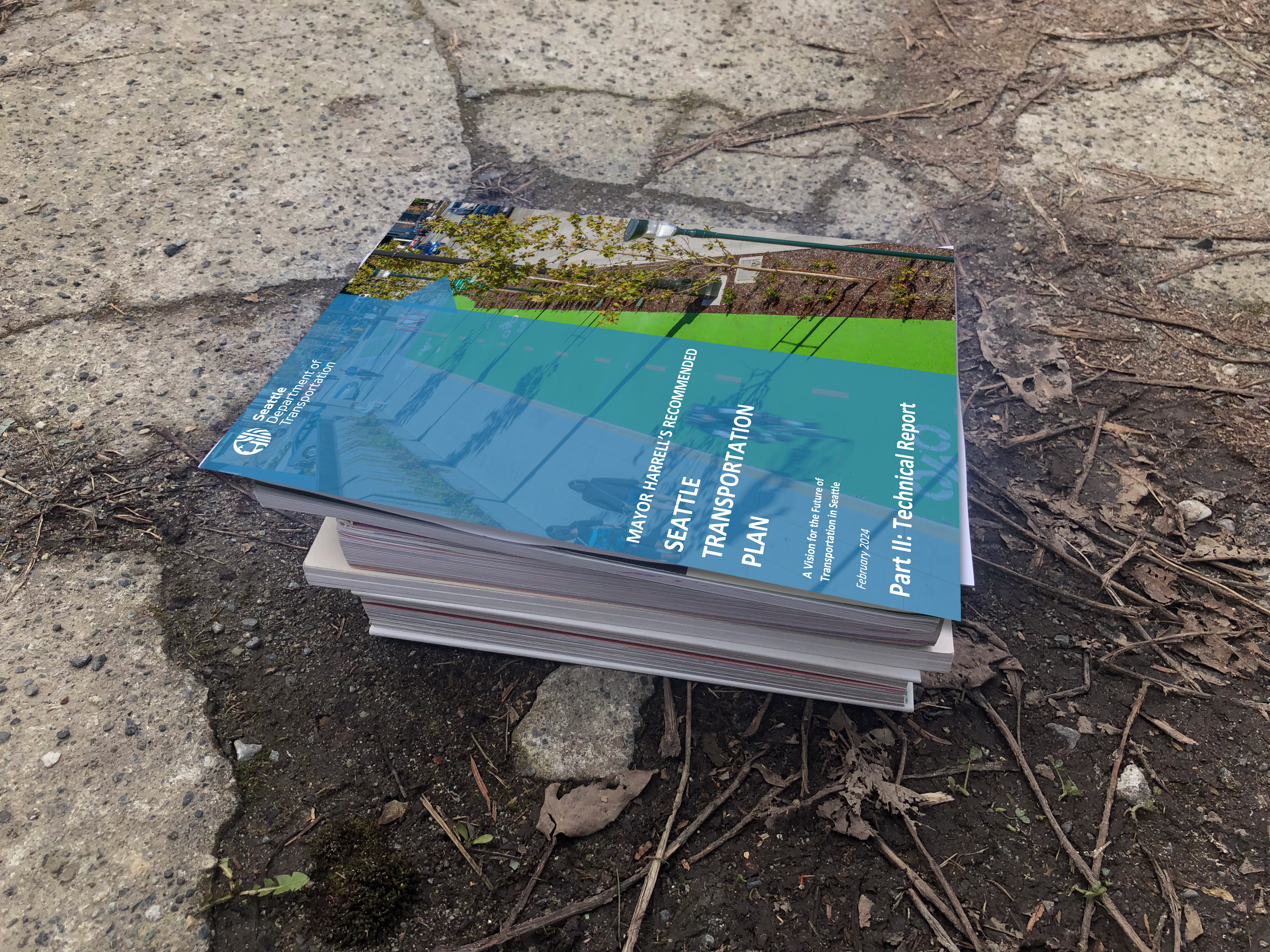
The result is 752 pages that are densely packed with information. The sheer scale of the thing makes it impossible to summarize effectively in a single post, so I will be demystifying different aspects of the plan and highlighting the elements for specific neighborhoods through a series that you can find under the tag 2024 Seattle Transportation Plan.
Though it is technically a 20-year plan, these plans typically really only have an active shelf life of about a decade before they are superseded by a new plan. At a high level, the plan puts a lot of emphasis of prioritizing safety. During public outreach, safety was an overwhelming priority for Seattleites. 84% of respondents said the city would prioritize safety of all people, but especially people walking and biking. The STP reflects this public demand by saying that the city must “put safety first on every street and at every intersection,” and the document stresses that city should use a “safe system” approach in which “the transportation system can be designed and operated to accommodate human mistakes and avoid death and serious injuries when a crash occurs.” Many of the city’s streets were designed without using this modern understanding of street safety, so “we need to rethink and even undo historic street design to achieve Vision Zero,” the plan states.
Interestingly, the plan also notes that Seattle will “support shifts toward lighter-weight vehicles” because “heavier vehicles, not only speed, are a key factor in pedestrian fatalities.” I don’t know what exactly this could look like from a city level since vehicle design standards are set at state and federal levels, but I don’t recall ever seeing this goal stated in an official Seattle transportation policy document of this stature.
Perhaps in response to the sharp rise in SoDo traffic deaths in recent years, the document says Seattle will “provide dedicated places for people to walk, bike, or roll safely separated from vehicles by using context appropriate treatments, such as protected bike lanes or “complete street” corridors, especially on major truck routes.” It also says that the city will “serve every public school with an all ages and abilities bicycle facility.”
Here’s the plan’s high-level goals related to bicycling specifically:
A bikeable city is one where people ride bikes because it’s a convenient, affordable, fun, safe, and healthy choice. In a bikeable city, people biking and using e-mobility (electric-powered bicycles and other devices, such as trikes, scooters, and mopeds) experience a Seattle where:
- People of all ages and abilities ride bicycles and use e-mobility as part of daily life
- A network of connected and well-maintained bike facilities get people from where they live to the places they need to go
- Everyday destinations such as parks, schools, transit, and shops are easily accessible by bicycles and e-mobility devices
- There are enjoyable and safe places to ride a bicycle or use an e-mobility device
- There is secure bike parking at destinations for a variety of bike and e-mobility device sizes
- Intuitive and inviting design makes people feel comfortable and confident navigating the network
- Biking is accepted and supported as a viable and attractive way to travel
In order to organize all of SDOT’s work and aspirations into a single document, the authors created six overarching goals, and plan elements must fit into one or more of these goals. Throughout the plan, individual elements constantly refer back to this list:
Safety
- Reduce vehicle speeding to increase safety
- Concentrate safety investments where fatal and serious injury collisions occur most or are at a higher risk of occurring
- Make all journeys safer, from departure to destination, especially for people traveling outside the protection of a vehicle
- Provide safer routes to schools, parks, transit, community gathering spaces, and other common destinations
- Support public safety through maintenance of critical access routes and planning for a climate resilient network
Equity
- Center the voices of communities of color and underrepresented groups in planning and decision-making processes
- Address inequities in the transportation system by prioritizing investments for impacted communities
- Remove cost as a barrier so everyone can take the trips they need to make
- Support shifts toward non-punitive transportation enforcement approaches that reduce harm and enhance public safety on city streets
Sustainability
- Improve neighborhood air quality and health outcomes by promoting clean, sustainable travel options
- Green city streets with landscaping and street trees to better handle changing climate
- Foster neighborhood vitality and improved community health
- Support the transition from fossil fuel to electric vehicles for personal, commercial, and delivery trips
- Advance mobility management strategies to encourage walking, biking, and transit trips
Mobility and economic vitality
- Create seamless travel connections
- Make walking, biking, and rolling more convenient and enjoyable travel choices, especially for short trips
- Create world-class access to transit and support making service more frequent and reliable
- Support access to jobs, freight movement, and growth in deliveries
- Manage curbspace to reflect city goals and priorities
Livability
- Reallocate street space to prioritize people, creating enjoyable places that also facilitate goods delivery and mobility
- Create welcoming community and mobility hubs
- Co-create and enhance public spaces for playing and gathering to improve community health
- Activate and maintain public spaces to create a welcoming and age-friendly public realm
Maintenance and modernization
- Maintain our streets, sidewalks, and bridges and incorporate planned safety and network improvements with maintenance work
- Reduce neighborhood disparities in the quality of streets, sidewalks, public spaces, and bridges
- Ready city streets for new travel options and emerging trends and technologies
OK, that all (or mostly) sounds great, but the devil’s in the details. Is the technical guidance honest to these goals? And what does all this mean for my neighborhood? I’ll dig into these questions in future posts, so stay tuned or check the tag to see all STP posts published so far.


Leave a Reply