
 Redesigning Alaskan Way is an incredible opportunity to create a people-centered downtown waterfront. With the viaduct out of the way, the city and state have a relatively blank slate to create a new street that makes it easy an comfortable to access Elliott Bay.
The best way to squander this opportunity: Make Alaskan Way a new highway.
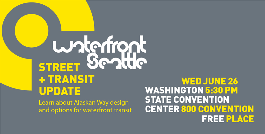
Waterfront Seattle is holding an update meeting at 5:30 p.m. tonight (Wednesday) at the Washington State Convention Center to give folks a look at updated road design and transit plans (sorry for the late notice).
Safe, comfortable and convenient walking and biking access along AND across the new boulevard needs to be the top priority for the Alaskan Way redesign project. For a project that is so far a huge black eye for walking, biking and transit, there really is no room for more compromise on this point (if a $2 billion car tunnel is not enough compromise for you, then I don’t really know what to say).
Details from SDOT:
The City of Seattle invites the community to join us for an interactive update on Alaskan Way design and options for waterfront transit.
In July 2012, building on more than two years of community engagement, Waterfront Seattle shared the concept design with the community. This vision includes a new urban street to accommodate all modes of travel and provide an important connection in the city’s transportation system. (Learn more at www.waterfrontseattle.org.)
On June 26, the design team will provide an update on the new Alaskan Way, including street design and local waterfront transit options for community feedback:
Street and Transit Update
Wednesday, June 26, 5:30 – 7:30 pm
Washington State Convention Center
Room 6E, 800 Convention Place, SeattleWaterfront Seattle is a partnership between the City of Seattle and the entire community to create a dynamic new public waterfront, covering 26 blocks between Pioneer Square and the Olympic sculpture Park. The project is led by the Seattle Departments of Transportation, Planning and Development, Parks and Recreation, in partnership with the Central Waterfront Committee.
Meeting agenda:
5:30 pm – Doors open
5:45 pm – Presentation on street design and local waterfront transit options
6:15 pm – Discussion tables and feedback stations to share your ideas
7:30 pm – Event ends


Comments
11 responses to “Waterfront meeting will showcase updated plans for new Alaskan Way”
I wasn’t able to make it to this meeting, but I’d love to see a report from anyone who was able to go. My initial reaction is to push for a redesigned Alaskan Way being car-free — just take cars out of the equation altogether. If you allow cars, then suddenly they want parking too, and then you have awful surface lots or public right-of-way consumed by private car parking. Let’s start by making the waterfront a place for walking, biking, and public transit.
Please don’t speak in public again. You make all of us who bike look collectively impractical and unintelligent.
We were all thinking it…
Yeah, sorry Kyle, I guess my vision sucks. I’ll go sulk in the corner now and read up on the transformative power of the single occupancy vehicle.
Yikes, guys. I’m not aware of what this little fight is about, but it seems like there’s some kind of offline beef. Please, in the future, keep it that way unless it’s truly relevant to the topic of conversation here.
It’s certainly true that vehicle access down there is necessary for a lot of reasons. Deliveries to and maintenance of waterfront amenities and access to the ferry terminal (which is part of the state highway system, for better or worse) loom large there. Not to mention certain kinds of freight movements that won’t be able to use the DBT.
However, in fairness, a strident vision isn’t inappropriate here. Functional, continuous, clear, safe bike routes have got to be the constant here; good transit routes have got to be the constant here. I could be reading things wrong, but it looks to me like the waterfront plans have improved considerably in these ways since they originally came out, and surely that has a lot to do with pressure applied by people with strident visions. The waterfront streetcar is on the table again! It looks like there’s a real cycletrack (not an MUP) in the latest drafts! Take off the pressure and this stuff will get compromised.
I’ve never been a public official listening to public feedback, but I have made things professionally and listened to user feedback to get ideas for improvements. When users asked me for impossible things, or things that conflicted with other requirements, I didn’t write that they were stupid, I tried to use the requests to determine what was really important to them. Requests for impossible things are often really useful — they tell you what people really care about. Then it’s the professionals job to balance everyone’s different concerns.
What frustrates me about this situation is that freight carriers have legitimate cause for concern about the new Alaskan Way, especially companies hauling flammable or otherwise dangerous materials that aren’t allowed in the deep bore tunnel. So here we are, safe streets at odds with the cause of freight mobility because the stupid tunnel is not a viable piece of transportation. It truly isn’t fair to freight or people hoping for a porous, comfortable waterfront boulevard.
I wish we could rewind the clock a decade (or more) so freight people and safe streets people could team up on a better viaduct removal plan. I know that ship has long sailed. But sigh…
Tom- You bring up an interesting point on freight mobility versus a safe road. I was at a table where someone was asking why not use a lower speed limit than the standard 30 mph. My question was when can anyone even go 30 mph? All intersections are controlled by traffic signals meaning that traffic will stop. Traffic is bad, especially during peak times. Cyclists are accommodated by a cycle track. Landscaped medians to provide psychological queues to slow down and yet, somehow this appears to be an “unsafe” road? Can you explain what you mean by that? I’m not trying to be a troll. I am just trying to understand what people consider “safe.” Thanks.
I was commenting on some earlier images floating around (w/ sections as wide as 6 or 7 lanes in places if I remember correctly). I actually haven’t seen the most recent work as I couldn’t make the meeting. My comments about making sure this doesn’t become a highway were meant to be a guiding principle for the project, not a direct comment on the plans shown at the meeting last night.
But in general, wide lane widths, too many lanes, etc create unsafe and uncomfortable walking conditions, even if there is a planted median. Other details, like signal timing and giving actual priority to walk signals (especially at rush hour) can go a long way to increasing walking comfort, too.
The transformational missed opportunity was the Green line Monorail. Not that it had to be a monorail, but having fast people moving transportation from Ballard to West Seattle would have allieveated the need for a tunnel, as people would have been still able to get around without the viaduct. But that ship’s gone too… maybe to come back as elilvated/tunneled light rail.
But meantime we need the waterfront street car back for all the same good reasons that we put one in to Capital Hill and to South Lake Union.
And yes, I’ll own up here, a cycle track on the waterfront side of Alaska way. Why this side with all the pedestrian traffic? Because there are no issues with cross street traffic at all. Yes people will walk into the bicycle traffic but that’s hardly the same as being t-boned by tourists turning on and off Alaska.
[…] we argued in a previous post, we cannot allow Alaskan Way to become another highway. It must be a place for people first, […]